Írottkő - Vasfüggöny túra 2012 Írottkő - Iron Curtail Trail 2012
|
HIKING
PAGE |

MAIN
PAGE
|
 |
 |
 |
 |
|
Nagyméretű megtekintéséhez kattints
bármelyik képre - Click
to any of the pictures
to open the chapter
|
|
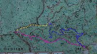 |
Gyalogos útvonalunk két szakasza:
5,5 km - Velem (380m) - Hosszú-völgy /Szerdahelyi patak/ - Asztal-kő - Írottkő (883m)
2,5 km - Írottkő (883m) - Hörman-forrás (700m) ---- "Vasfüggöny ösvény"
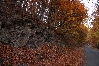
A harmadik szakszon rollival gurultunk:
5,5 km - Hörmann-forrás (700m) - Velem (380m)
|
| Velemből (380m) Írottkőre (883m) - From Velem (380m) to Írottkő (883m) |
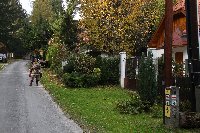 | 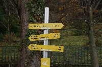 | 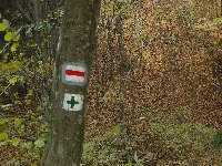 | 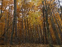 |
| 1. Túránk Velemből indult - Our tour started in village Velem | 2. Uticélunk Írottkő - Írottkő was our destination | 3. A piros mínusz majd a zöld plusz jelzést követtük - We followed the red minus then the green plus sign | 4. Őszi erdő - Autumn forest |
 |
 |
 |
 |
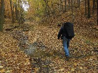
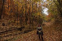
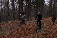
| 5. Gábor a hátán viszi táskában a rollikat - Gabor is carrying the scooters in the big bag |
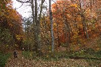
6. Őszi erdő - Autumn forest |
7. Őszi erdő - Autumn forest |
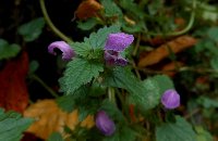
8. Vadvirág ősszel - Wildflower in autumn |
 |
 |
 |
 |
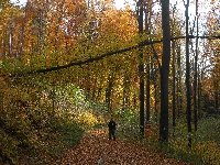
| 9. Őszi erdő - Autumn forest |
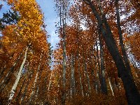
10. Őszi színek - Autumn colors |
11. Kidőlt fa - Declined tree |
12. Őszi erdő - Autumn forest |
 |
 |
 |
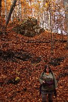 |
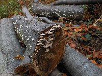
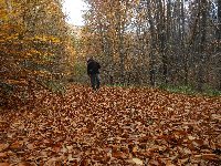
| 13. Fatörzsek - Wooden logs |
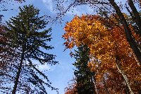
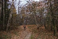
14. Őszi színek - Autumn colors | 15. Erdei ösvény őszi falevél-szőnyeggel - Forest trail with autumn leaves-carpit | 16. Őszi erdő - Autumn forest |
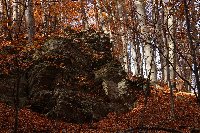 | 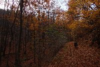 |  |  |
| 17. Sziklák - Rocks | 18. Őszi erdő - Autumn forest | 19. Őszi erdő - Autumn forest | 20. Őszi erdő - Autumn forest |
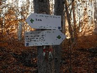 |  | 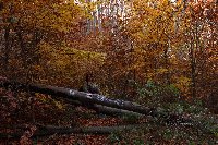 | 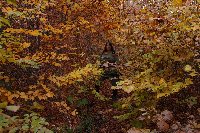 |
| 21. Útjelző táblák - Road signs | 22. Őszi erdő - Autumn forest | 23. Még 2,8 km - 2,8 km more | 24. Őszi erdő - Autumn forest |
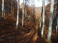 | 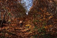 | 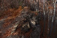 | 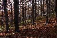 |
| 25. Őszi erdő - Autumn forest | 26. Őszi erdő - Autumn forest | 27. Őszi erdő - Autumn forest | 28. Őszi erdő - Autumn forest |
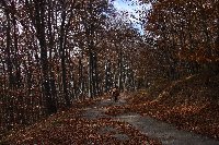 | 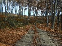 | 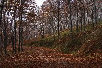 | 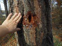 |
| 29. Őszi erdő - Autumn forest | 30. Őszi erdő - Autumn forest | 31. Őszi erdő - Autumn forest | 32. A harkály munkája - The woodpecker's work |
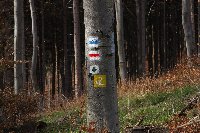 | 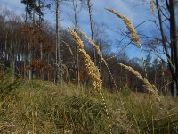 |  |  |
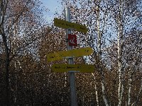
| 33. Útjelző táblák - Road signs | 34. Fűfélék - Grass | 35. Fűfélék - Grass | 36. Irtás - Deforestated area |
 | 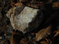 | 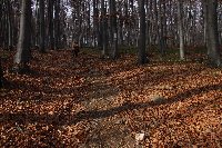 | 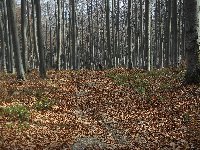 |
| 37. Őszi erdő - Autumn forest | 38. Márvány - Marble | 39. Őszi erdő - Autumn forest | 40. Őszi erdő - Autumn forest |
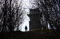
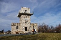
Írottkő csúcs (883m)
Írottkő peak (883m) |
 |
 |
 |
 |
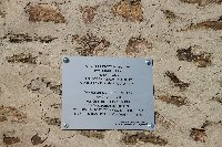
| 41. Felértünk az Írottkőre (883m) - We reached peak Írottkő (883m) |
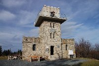
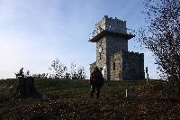
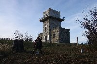
42. Árpád-kilátó, Írottkő (883m), az osztrák-magyar határon - Árpád tower, Írottkő (883m) on the Austrian-Hungarian border |
43. 1989 előtt ez magyar túristák részére elzárt terület volt - Before 1989 Hungarian citizens were not allowed to enter this border area |
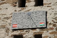
44. Napóra - Sun clock |
 |
 |
 |
 |
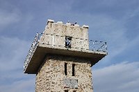
| 45. Az Árpád-kilátó, 1913-ban építették, miután a helyén álló fatorony tönrement - Arpad Tower was built in 1913, as the previous wooden tower had been demolished |
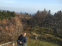
46. Az osztrák-magyar határvidék a Schengeni Csatlakozás (2007) óta látogatható teljesen szabadon - People are allowed to enter freely the Austrian-Hungarian border since 2007 when Hungary joined the Schengen area |
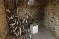
47. A toronyba vezető csigalépcső - Spiral staircase leading to the top of the tower |
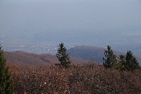
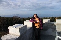
48.
Panorama - Kilátás |
 |
 |
 |
 |
| 49. Panorama - Kilátás |
50. Panorama - Kilátás |
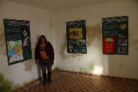
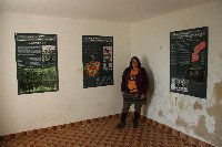
51. A torony földszintjén történelmi információkról szóló plakátok vannak - Posters with historical information are displayed on the groundfloor |
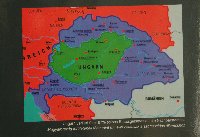
52. Trianon előtt és után. 67%-os területi veszteség - Hungary before the Treaty of Trianon (blue) and after (green). 67% of the territory lost. |
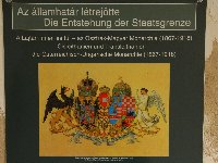 | 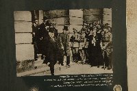 |  | 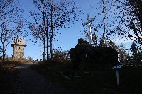 |
| 53. Az Osztrák-Magyar Monarchia címere - Coat of Armrs of the Austro-Hungarian Monarchy | 54. Történelmi fotó - Historical photo | 55. Történelmi információkról szóló plakátok - Posters with historical information | 56. Itt éppen átjöttünk Ausztriába - Here we are in Austria |
 |  |  |  |
| 57. Az osztrák-magyar határt jelölő kövek - Markong stones of the Austro-Hungarian border | 58. "Átlépek kicsit" Ausztriába - Marker stones of the Austro-Hungarian border | 59. Az Alpannónia túraút: Fischbach-Semmering-Kőszeg közötti túraút, amely 150 km hosszú - Alpannonia Trail, connecting Fischbach, Semmering, Kőszeg - 150 km long | 60. Útjelző táblák - Road signs |
Vasfüggöny túristaút: Írottkő (883m) ---> Hörman forrás (700m)
Iron Curtain Trail: Írottkő (883m) ---> Hörman forrás (700m) |
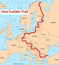 | Az Európai Parlament 2005-ben döntött arról, hogy a volt keleti blokkot
Nyugat-Európától elválasztó vasfüggöny nyomvonalán létesüljön túraút a
Balti-tengertől egészen a Fekete tengerig. A 6.800 kilométeres leendő
vándorút egyik szakasza Magyarországot érinti az egykori műszaki
határzár helyén. Mi egy 2-kilométeres darabján sétáltunk az Írottkőtől a Hörmann-forrásig.
KATTINTS A TÉRKÉPRE !
In
2005 the Erupean Parliament decided to establish and build a hiking
trail on the place of the "Iron Curtain" which was the name of the
border dividing the Western and Eastern blck of Europe. The trail will
be 6800 km long and one section is running on the place of the former
physical fence. We were walking on a 2 kilometr long section of the
Iron Curtain Trail.
CLICK ON THE MAP ! |
 |
 |
 |
 |
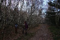
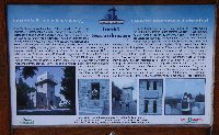
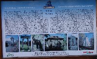
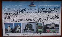
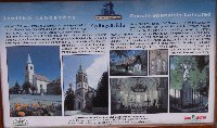
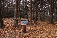
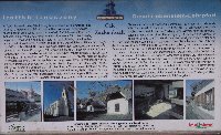
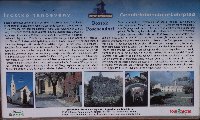
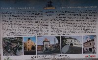
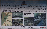
| 61. A túraösvényen információs tábláka vannak a környékbeli telepléskről - Sign posts are located along the trail, with information about the nearby villages |
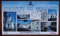
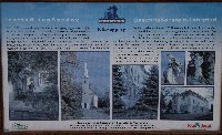
62. Írottkő |
63. Velem |
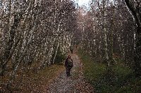
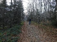
64. Egykor itt fel volt szántva a határ. Ma fiatal nyírfák nőttek itt. - Once the land was flat here. Today young birch trees are growing here. |
 |
 |
 |
 |
| 65. Perenye | 66. | 67. Peresznye | 68. |
 |
 |
 |
 |
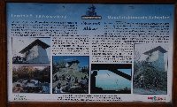
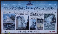
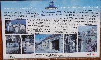
| 69. Óház-tető |
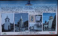
70. Nemescsó |
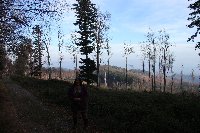
71. Lukácsháza |
72. |
 |
 |
 |
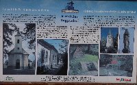 |
| 73. Kőszegdoroszló |
74. Kőszegpaty |
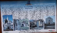
75. Kőszegszerdahely | 76. Kiszsidány |
 |
 |
 |
 |
| 77. Horvátzsidány |
78. |
79. Gyöngyösfalu |
80. |
 |
 |
 |
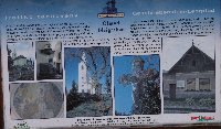 |
| 81. | 82. Cák | 83. Bozsok | 84. Ólmod |
 |
 |
 |
 |
| 85. Kőszeg |
86. |
87. Stájer házak |
88. |
 |
 |
 |
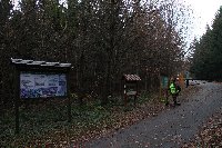 |
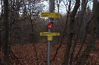
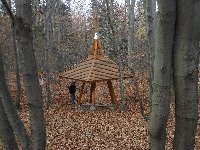
| 89. Hétvezér forrás (Hétforrás) |
90. | 91. Hörmann forrás | 92. |
| | | |
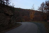
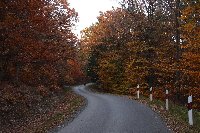
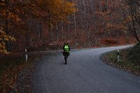
Rollival a Hörmann forrástól Velembe
Rolling down from Hormann Source to Velem |
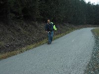 | 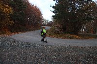 | 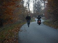 | 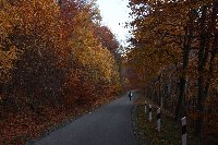 |
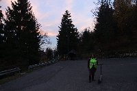
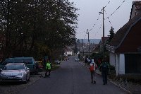
| 93. A Hörmann forrástól rollival gurultunk le Velembe - From Hörmann source we rolled down to Velem | 94. | 95. | 96. |
 |  |  |  |
| 97. | 98. | 99. | 100. |
 |  |  | |
| 101. | 102. | 103. | |
Kőszeg
Kőszeg |
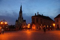 | 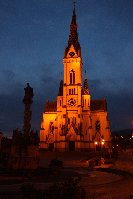 |  | 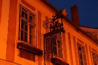 |
| 104. Jézus szíve templom - Sacred Heart church | 105. Jézus szíve templom - Sacred Heart church | 106. Rézdombormű egy utcai csatornafedélen - Copper relief on a draincover | 107. Ház a főtéren - House on the Main Square |
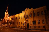 | 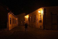 | 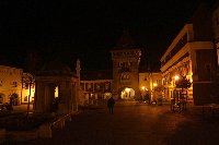 | 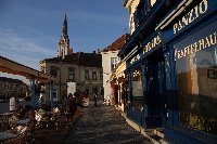 |
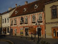
| 108. Domonkos zárda - Dominican Monastery | 109. Rajnis József utca - Old street | 110. Jurisics tér - Jurisics Square | 111. A panzió, ahol aludtunk - This was our pansion |
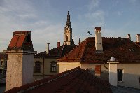 | 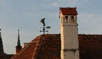 | 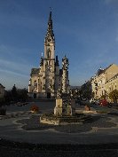 |  |
| 112. Kilátás az ablakunkból - View from our window | 113. Kilátás az ablakunkból - View from our window | 114. Jézus szíve templom - Sacred Heart church | 115. Ház a főtéren - House on the Main Square |
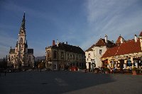 | 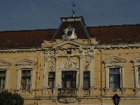 | 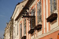 | 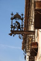 |
| 116. Főtér - Main Square | 117. Ház a főtéren - House on the Main Square | 118. Ház a főtéren - House on the Main Square | 119. Cégér |
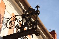 | 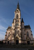 | 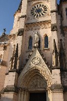 | 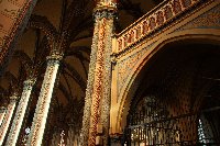 |
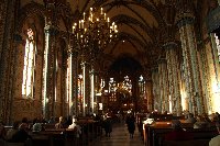
| 120. Cégér | 121. Jézus szíve templom - Sacred Heart church | 122. Jézus szíve templom - Sacred Heart church | 123. Jézus szíve templom - Sacred Heart church |
 | 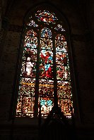 | 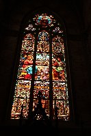 | 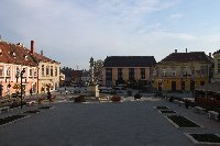 |
| 124. Jézus szíve templom - Sacred Heart church | 125. Jézus szíve templom - Sacred Heart church | 126. Jézus szíve templom - Sacred Heart church | 127. Főtér - Main Square |


