Grenoble - Gyalogösvényen fel a Bastille erődbe
Szintkülönbség: 200m ->475m Út: 1,5 km
Grenoble - Bastille Fortress on walking trail
Level difference: 200m -> 475m Distance: 1,5 km
|

MAIN
PAGE

HIKING
PAGE
|
 |
 |
 |
 |
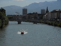
| 81. Drac folyó - River Drac |
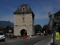
82. Porte de France |
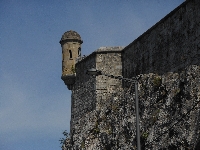
83. Echaguette - Fal tetején levő őrbástya - Bartizan / guerite (small guard bastion on a fortress wall) |
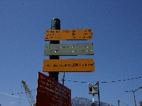
84. A Bastille-ig 1,5 km az út, és 200m-ről 475m magasra kell feljutni - The trail to Bastille is 1,5 km long, and it is raising from 200m to 475m height a.s.l. |
 |
 |
 |
 |
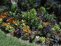
| 85. Az út csodás kertből indul - The trail is staring in a nice garden |
86. Az út csodás kertből indul - The trail is staring in a nice garden |
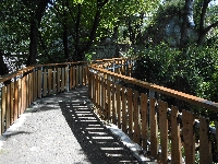
87. Az ösvény jól kiépített - The trail is well-constructed |
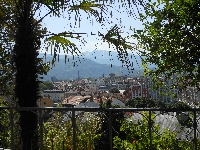
88. Sok helyen szép a kilátás - On many points panorama is beautiful |
 |
 |
 |
 |
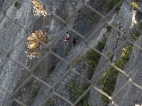
| 89. Sziklamászók - Rock climbers |
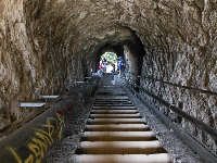
90. Az ösvény barlangokon keresztül vezet - The trail leads thorugh caves |
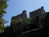
91. Fejem felett az erőd
- Here is the fortress above my head |
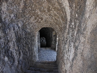
92. Egy másik barlang - Another cave |
 |
 |
 |
 |
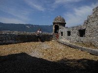
| 93. Felértem az erőd legalsó szintjére
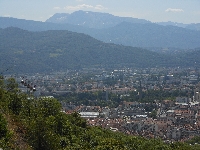
- I reached the lowest level of the fortress | 94. Codás innen a kilátás
- The panorama is fantastic | 95. Már csak kevés van hátra
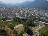
- Still a bit to go | 96. Lent az erőd falai és a város
- The fortress and the twon under my feet |
 | 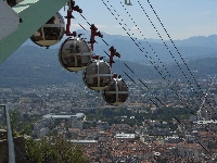 |  |  |
| 97. Már csak néhány lépcsőfok...
- Some more stairs to go... | 98. A buborékkabinok is most értke fel.
- The bubble cabins also reached the upper station | 99. A panoráma
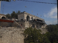
- Beautiful panorama | 100. Az étterem
- The restaurant |


